Cardiff Cycle Map
Produced by CycleCity Guides, March 2012.
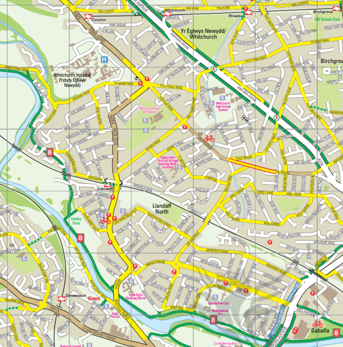
Sample area:

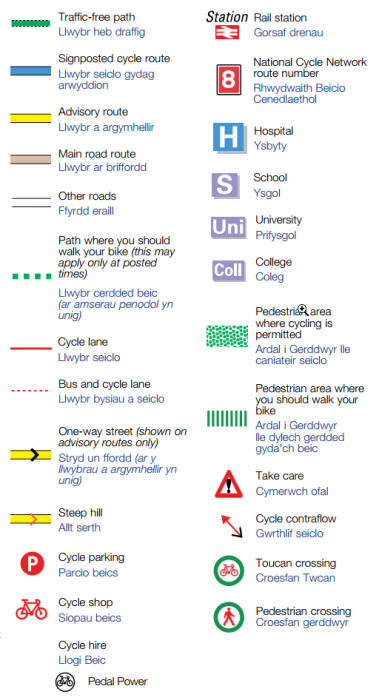
Symbol key:

Produced by CycleCity Guides, March 2012.
At first glance this map seems to use Cheltenham-style colour-coding for roads, but in fact it's more of a "Route map" type. White roads aren't considered useful for cycle routes, and have no information for cyclists: both major A roads and quiet residential streets can be shown in white. However the routes shown do form a reasonably dense network.
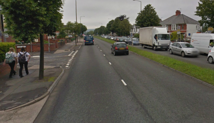
Sadly some of the map features, such as the lovely green "traffic-free paths" apparently available along Northern Avenue, are not actually that useful in practice: these are merely the standard narrow footways, which have no priority over side roads and which were never designed as cycleways. Not really the sort of thing you'd let an unaccompanied 8-year-old to ride along. Here's the reality of the "traffic-free path" along Northern Avenue, as seen by Google Streetview. Cyclists are supposed to use the footway:
